 01
WHEN THE BLOOD TRAIL ENDSDRONE DEER
DRONE DEER
RECOVERY
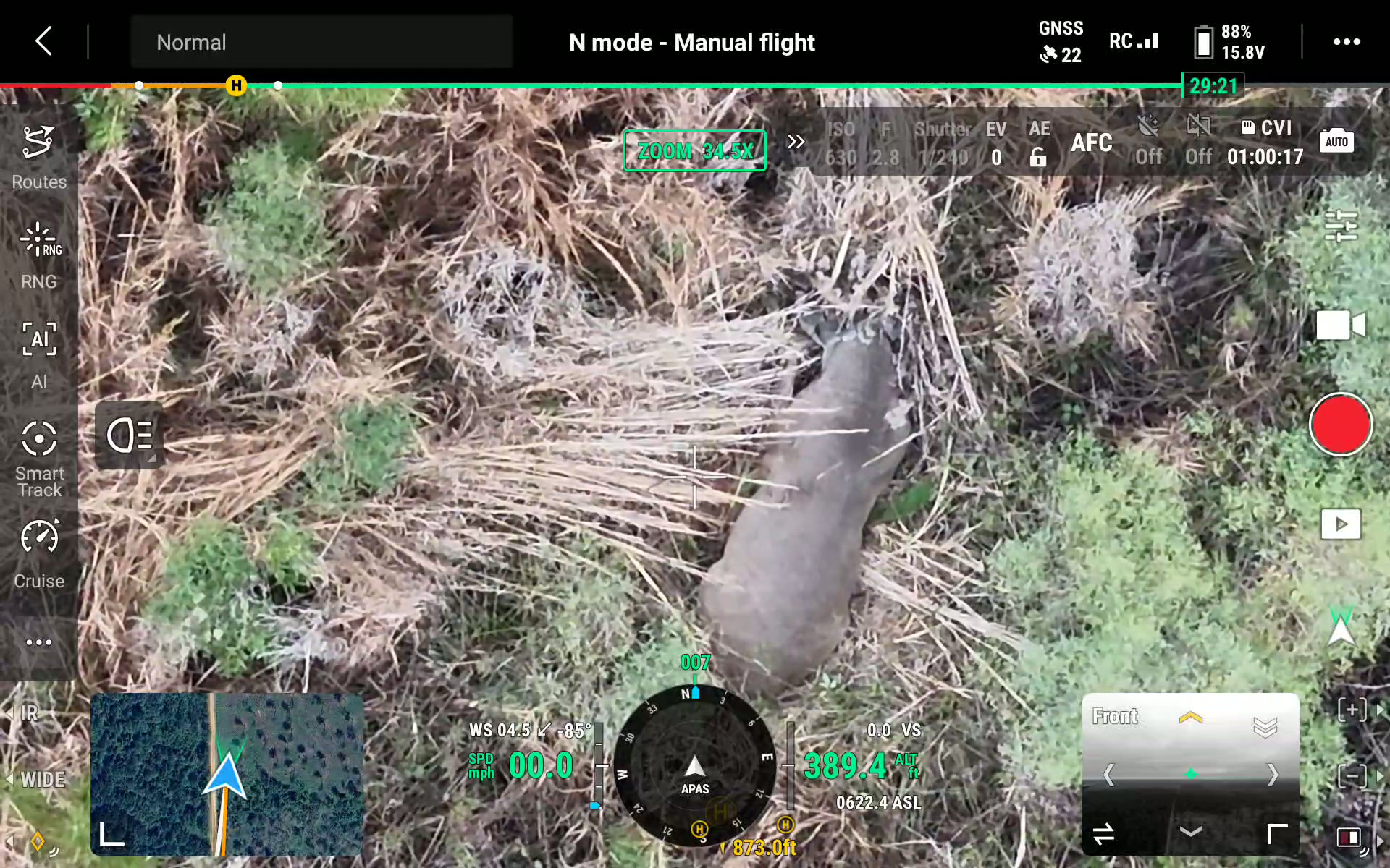
A targeted thermal search when a tough recovery leaves you with more questions than answers. We help you take the next step with confidence.
LEARN ABOUT RECOVERY ↗Advanced thermal drone deer recovery and whitetail herd analysis for landowners and hunting camps who want real answers, not guesses.
When the moment matters, we bring the technology. When the season ends, we bring the perspective. Built specifically around hunters and landowners across Mississippi.
01A targeted thermal search when a tough recovery leaves you with more questions than answers. We help you take the next step with confidence.
LEARN ABOUT RECOVERY ↗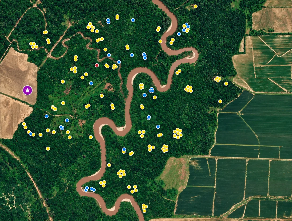 02
Thermal herd surveys, buck and doe observations, visual distribution maps, and practical management insight for your property.
EXPLORE HERD ANALYSIS ↗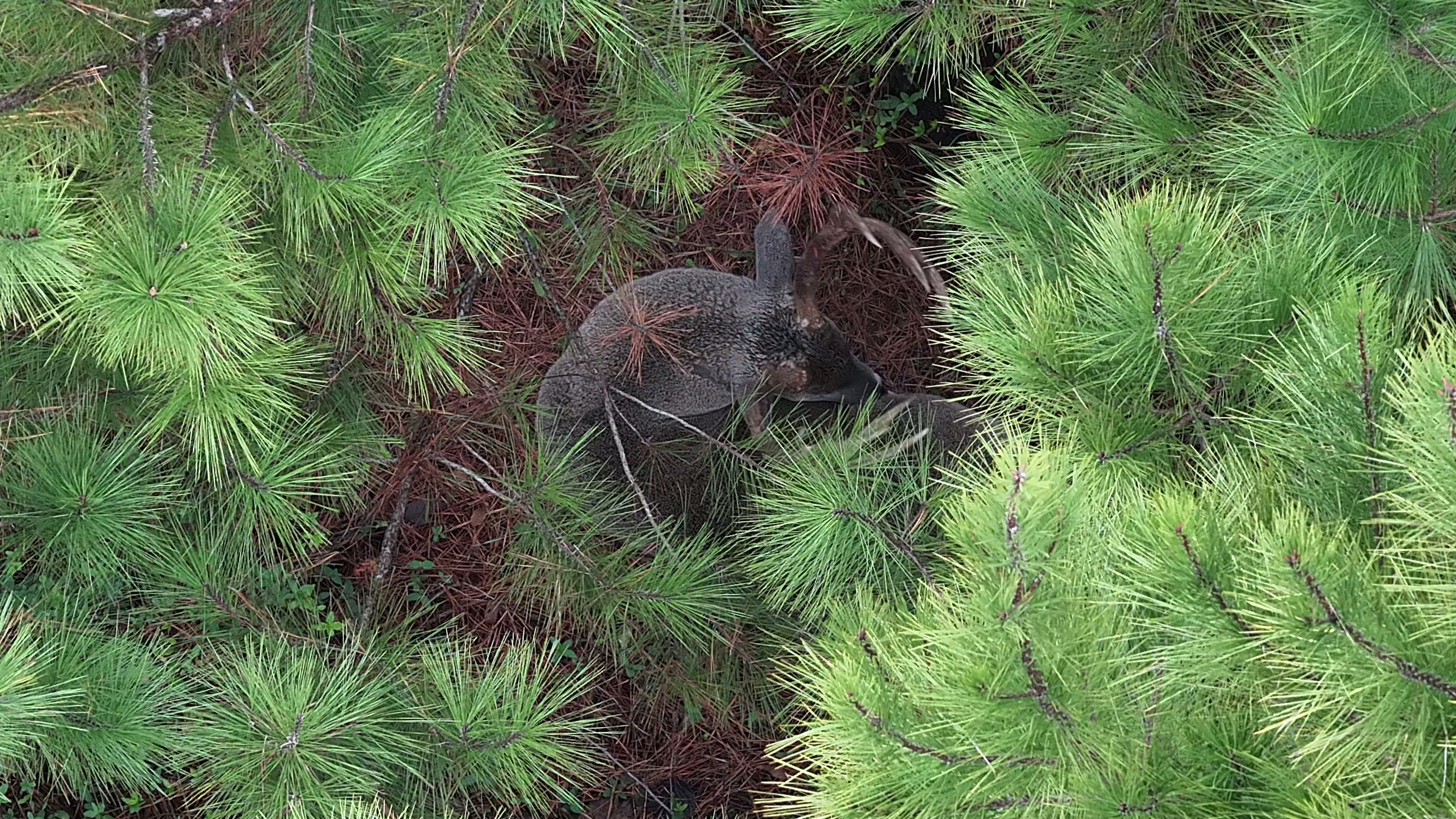
See what a real thermal survey looks like from the air.
Trail cameras show a piece of the picture. A systematic thermal survey helps reveal where deer are being observed across your property—then turns those observations into a map and management conversation you can use.
Interactive demonstration. Tap a marker on the map to see the kinds of insights a survey can highlight. Sample numbers are illustrative, not a live census.
EXPLORE HERD ANALYSIS ↗Blue pins illustrate locations where bucks were observed during a sample aerial survey. Patterns help focus your trail camera and habitat questions.
A look at field photos and drone footage from Southern Sky. These are the kinds of moments behind every call and every survey.
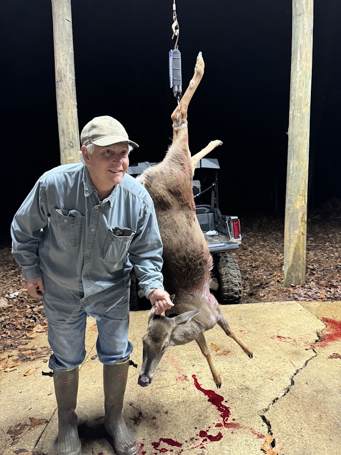
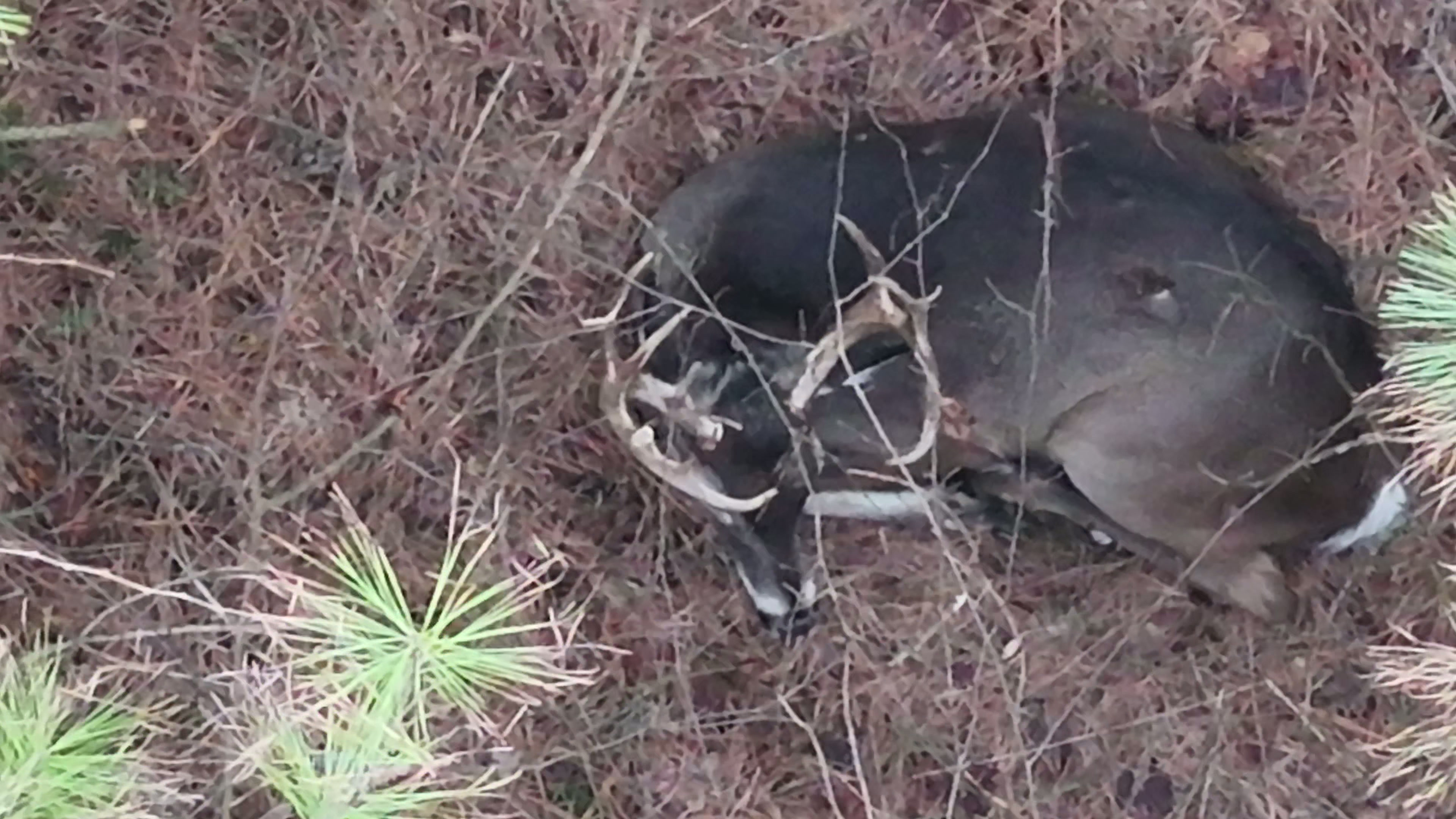
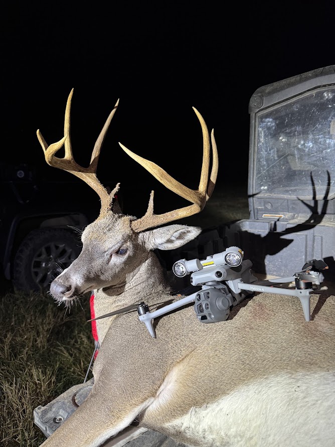
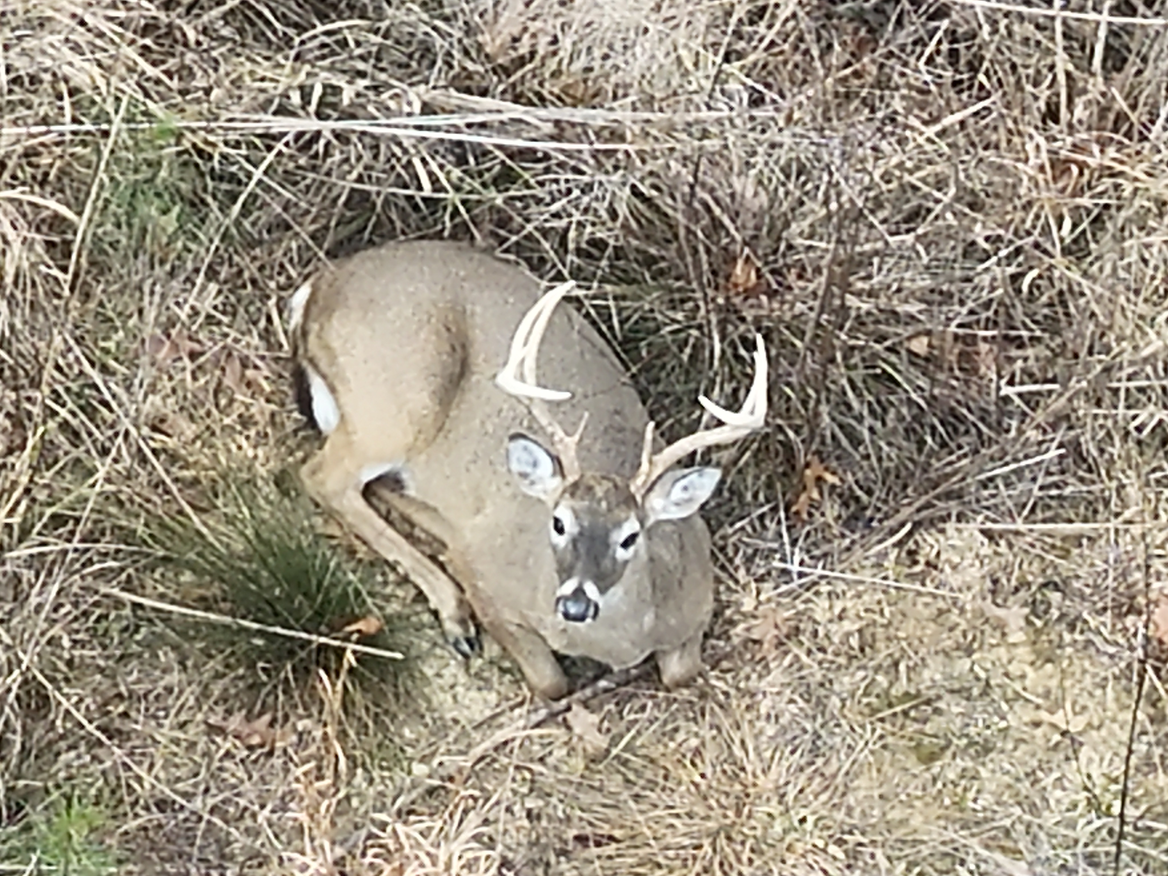
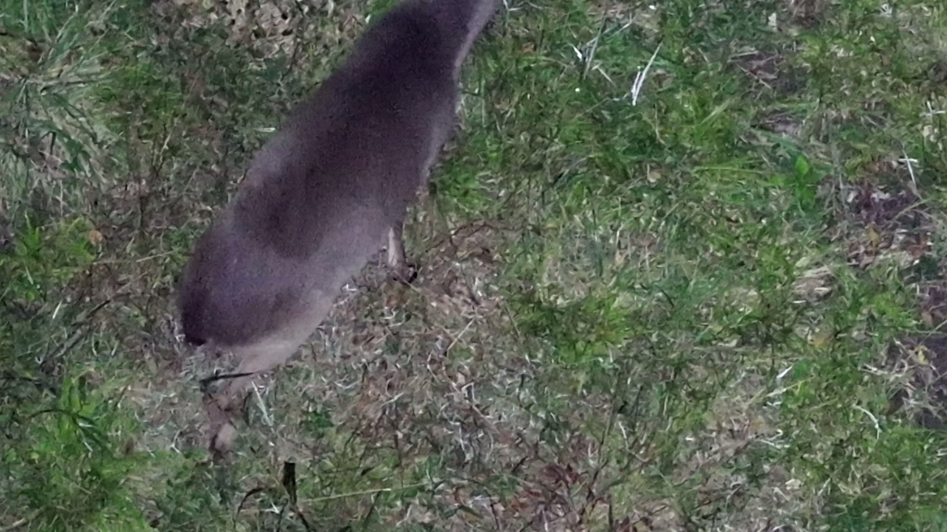
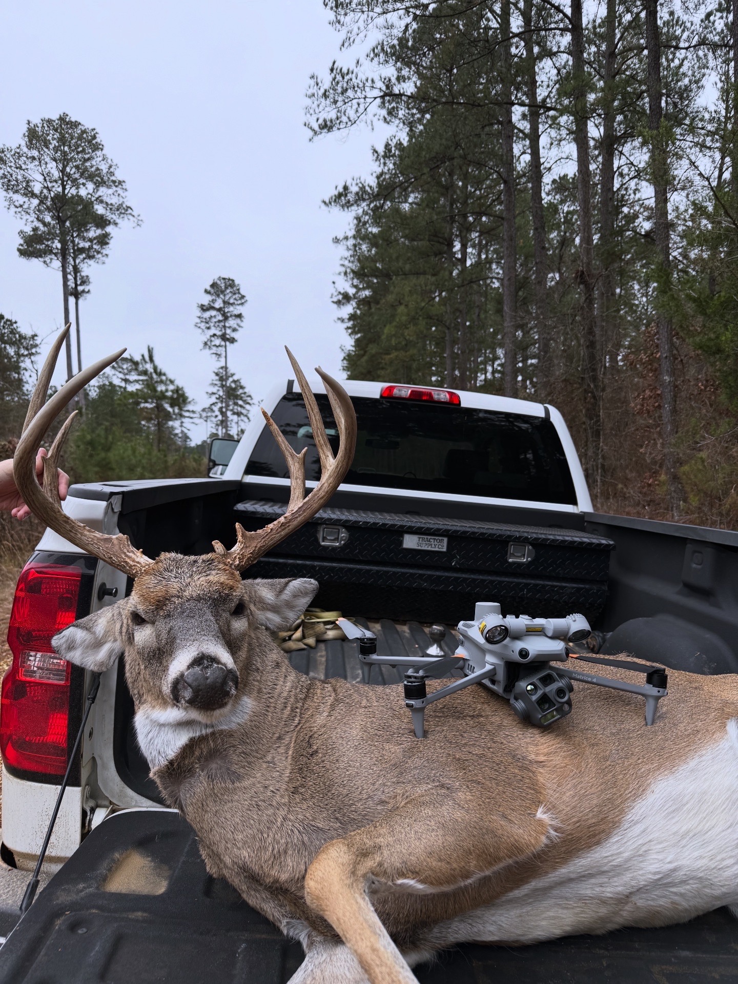
Media supplied by Southern Sky Drone Service. Gallery content is displayed for service demonstration; individual results vary.
You'll know what we're doing, what we're seeing, and what the results can—and can't—tell you.
Tell us about the deer, your acreage, and what you need to learn. We help determine whether recovery or a herd survey is the right fit.
We plan and conduct a thermal flight with permission and respect for property, weather conditions, airspace and applicable regulations.
For herd analysis, we organize the observations into a property view and explain the takeaways. For recoveries, we share the search findings directly.
We know the time, work and meaning that go into a hunt—and the years of effort that go into improving a piece of land. Southern Sky combines that local perspective with modern thermal drone technology.