
01 / THE HERD
OBSERVED DEER COUNTS
Counts for bucks and does that can be distinguished during the flight, plus a buck-to-doe ratio calculated from those observations.
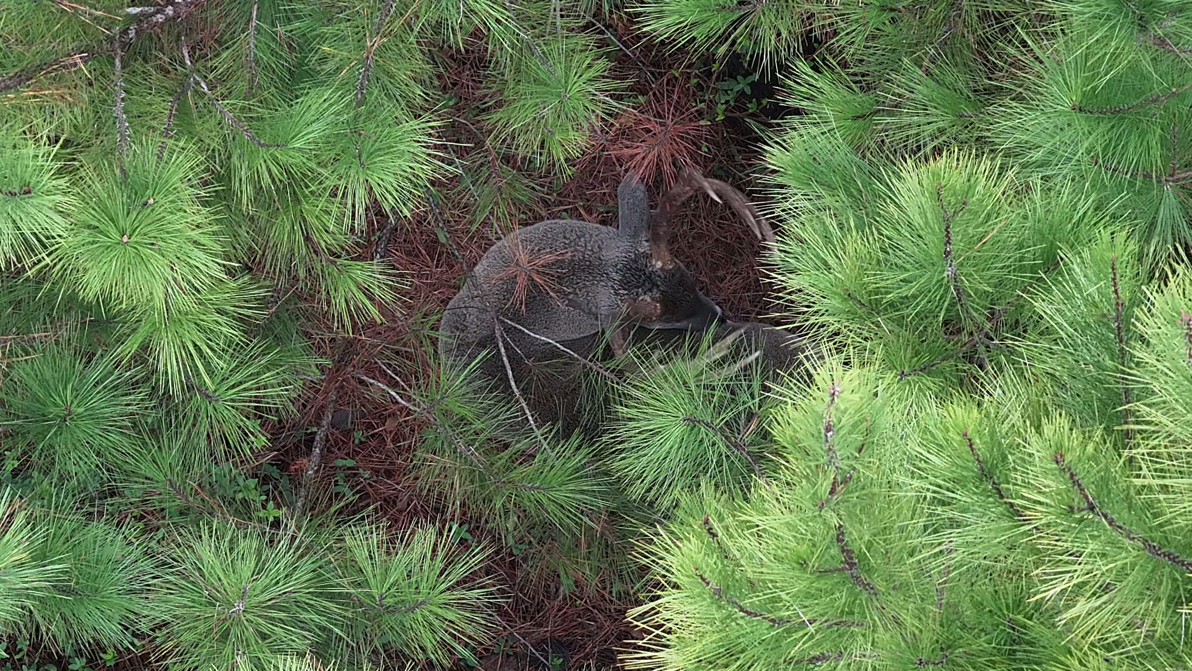
Deer herd analysis combines aerial observations and an organized property report so your next management conversation starts with something more than a trail camera photo.
A good survey is more than a pile of pins. We help landowners look at where deer were observed, how the population is represented in the survey, and how those findings could inform habitat and hunting pressure conversations.
A thermal survey reflects observable deer under the conditions of the flight; it is not an exact census or a guarantee of future deer movement.
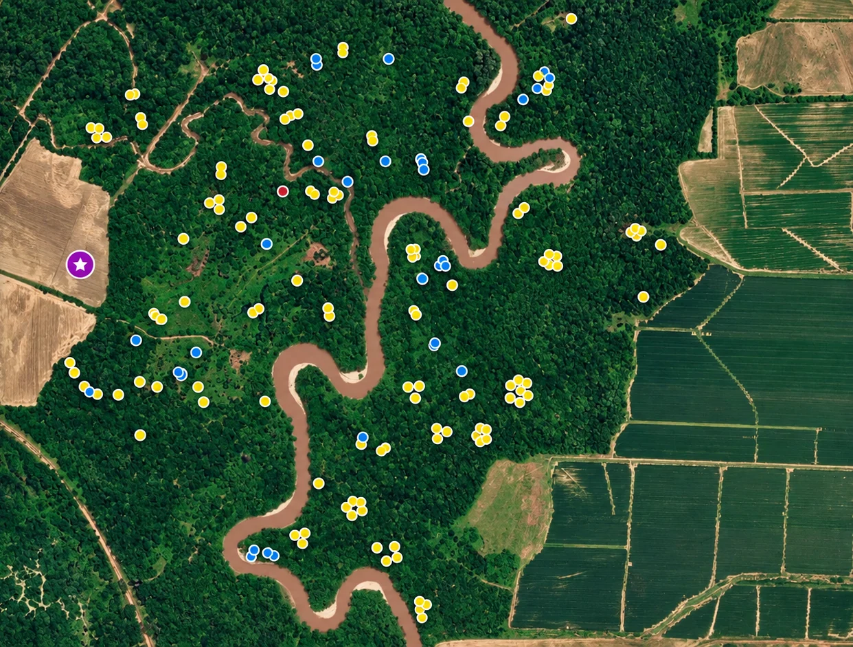
Trail cameras show a piece of the picture. A systematic thermal survey helps reveal where deer are being observed across your property—then turns those observations into a map and management conversation you can use.
Interactive demonstration. Tap a marker on the map to see the kinds of insights a survey can highlight. Sample numbers are illustrative, not a live census.
EXPLORE HERD ANALYSIS ↗Blue pins illustrate locations where bucks were observed during a sample aerial survey. Patterns help focus your trail camera and habitat questions.
Every property is different. The report is designed around the footage, visible wildlife, terrain, cover, and your management questions.
Counts for bucks and does that can be distinguished during the flight, plus a buck-to-doe ratio calculated from those observations.
Color-coordinated observation locations so you can identify concentrations and compare different parts of a property.
Selected imagery of notable deer or observation areas, where quality and conditions allow.
Discuss the observations, possible limitations, and where further trail camera monitoring or on-the-ground scouting may be useful.
Watch a sample from Southern Sky's herd survey footage.
Late fall and winter, after significant leaf drop, often offer improved visibility. We discuss conditions, timing and goals before booking.
No aerial method can guarantee that every deer is visible. Weather, temperature, vegetation, terrain and movement affect observations. We explain those limitations alongside your findings.
We can provide observed counts and classification when thermal and visual footage supports it, along with a ratio for deer identified during the survey.
No, your individual property maps and coordinates are for your deliverables. Any marketing example requires client permission and can be anonymized.
Yes. The goal is practical interpretation for landowners and hunting camps—not just handing over images. Where questions require a specialist, we will distinguish our observations from formal wildlife-biologist recommendations.